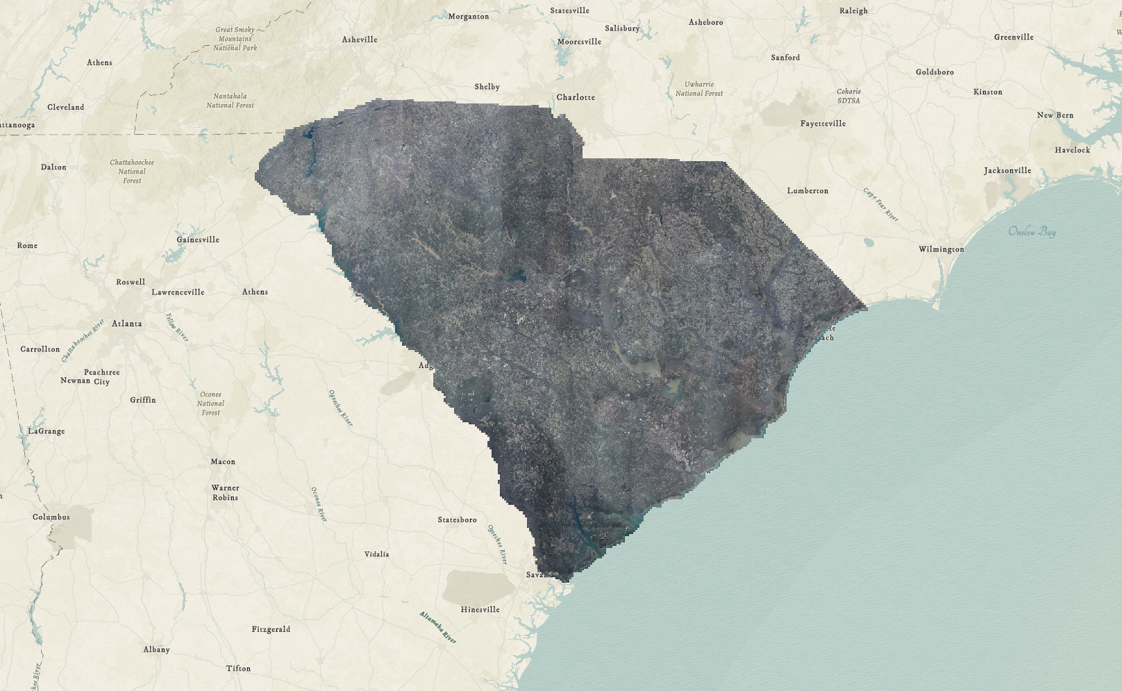

Imagery Specs
6 Inch, 4-Band (R, G, B, NIR) imagery. Cloud free conditions with a sun angle of 30 Degrees or higher to reduce shadows as much as possible. Additionally, the northing and easting offsets cannot exceed 3 pixels or 1.5ft Ground Sampled Distance.
About
Recognizing the need for a complete mosaic view of the entire state to support services such as disaster response, economic development, and land management, the Geographic Information Council (GIC) established an initiative to develop a standardized statewide aerial imagery program.